Hotel
Best stay
Verified
5 photos
Hotel
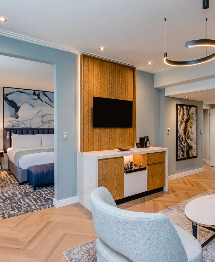
Southern Sun Rosebank
Johannesburg, Gauteng
Well-known Rosebank hotel with free WiFi, a gym and pool, close to Gautrain and shopping.

